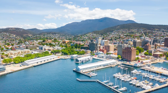
In our collaboration with the City of Hobart, Geoneon developed a deep-learning model to map the urban tree canopy, utilising high-resolution satellite imagery. Our analysis compared urban canopy data from 2017 and 2022, delivering crucial insights for Hobart’s urban greening goals.
To read the full case study and report, follow the link here.