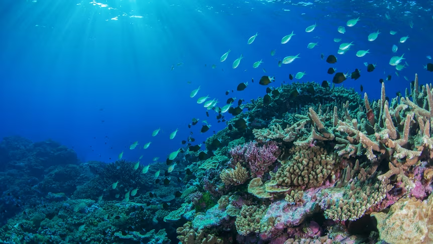
Have you ever thought about what sea creatures roam the ocean floor off Tasmania’s east coast? Or what kind of plants live at the bottom of the Coral Sea? A world-first, continental-scale internet portal led by marine analysts from Hobart’s Institute of Marine and Antarctic Studies (IMAS) has made it possible to find out.
Seamap Australia is an online tool that provides collections of sea floor habitat data from around the country. “It brings together really big data streams from national research aggregators from around Australia, and delivers it through a single mapping portal where you can interact with the data in a highly visual way,” said Seamap technical lead Emma Flukes.
The tool can be used to identify different habitats that are vulnerable to marine pests and pinpoint rare or important ecological hotspots. It can also help assess environmental impacts before approving developments such as for oil and gas.
Read more about this first-of-its-kind tool helping marine research.